{ "@context": "https://schema.org", "@type": "SoftwareApplication", "name": "eSTZwritR", "alternateName": "easy rider", "applicationCategory": "Scientific Software", "operatingSystem": "Windows, macOS, Linux", "softwareVersion": "0.1.1", "description": "R package for applying standardized file naming, directory structure, and mapping conventions to empirical Seed Transfer Zones (eSTZs) in the United States to streamline data sharing among natural resource professionals.", "url": "https://sagesteppe.github.io/eSTZwritR/", "downloadUrl": "https://github.com/sagesteppe/eSTZwritR", "codeRepository": "https://github.com/sagesteppe/eSTZwritR", "author": [ { "@type": "Person", "name": "Brianna Wieferich" }, { "@type": "Person", "name": "Reed Benkendorf", "url": "https://github.com/sagesteppe" } ], "programmingLanguage": "R", "keywords": [ "seed transfer zones", "eSTZ", "empirical seed zones", "native plant restoration", "germplasm", "seed collection", "ecological genetics", "restoration ecology", "spatial data", "R package", "data standards" ], "inLanguage": "en-US", "citation": { "@type": "ScholarlyArticle", "name": "Empirical seed transfer zones require conventions for data sharing to increase their utilization by practitioners", "author": [ {"@type": "Person", "name": "Brianna Wieferich"}, {"@type": "Person", "name": "Reed Benkendorf"} ], "datePublished": "??", "publisher": "??", "url": "https://github.com/sagesteppe/EmpiricalSeedZones/blob/main/manuscript/Empirical-seed-transfer-zones-require-conventions-for-data-sharing-to-increase-their-utilization-by-practitioners.pdf" }, "offers": { "@type": "Offer", "price": "0", "priceCurrency": "USD" }, "sameAs": [ "https://doi.org/10.5281/zenodo.14641975" ] }

Skip to contents

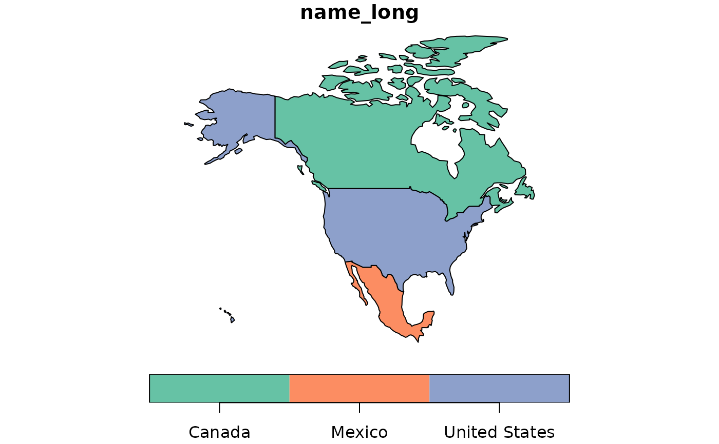
This data set contains the borders of three North American countries. It is used within the mapmaker function to showcase the edges of both landmasses and where the borders of the United States end. These data are subsetted from the 'spData' r package.

Usage

countries

Format

A data frame/tibble/sf with 3 rows and 2 columns:

name_long

Country name

geom

sf geometry column

Examples

plot(countries)