{ "@context": "https://schema.org", "@type": "SoftwareApplication", "name": "eSTZwritR", "alternateName": "easy rider", "applicationCategory": "Scientific Software", "operatingSystem": "Windows, macOS, Linux", "softwareVersion": "0.1.1", "description": "R package for applying standardized file naming, directory structure, and mapping conventions to empirical Seed Transfer Zones (eSTZs) in the United States to streamline data sharing among natural resource professionals.", "url": "https://sagesteppe.github.io/eSTZwritR/", "downloadUrl": "https://github.com/sagesteppe/eSTZwritR", "codeRepository": "https://github.com/sagesteppe/eSTZwritR", "author": [ { "@type": "Person", "name": "Brianna Wieferich" }, { "@type": "Person", "name": "Reed Benkendorf", "url": "https://github.com/sagesteppe" } ], "programmingLanguage": "R", "keywords": [ "seed transfer zones", "eSTZ", "empirical seed zones", "native plant restoration", "germplasm", "seed collection", "ecological genetics", "restoration ecology", "spatial data", "R package", "data standards" ], "inLanguage": "en-US", "citation": { "@type": "ScholarlyArticle", "name": "Empirical seed transfer zones require conventions for data sharing to increase their utilization by practitioners", "author": [ {"@type": "Person", "name": "Brianna Wieferich"}, {"@type": "Person", "name": "Reed Benkendorf"} ], "datePublished": "??", "publisher": "??", "url": "https://github.com/sagesteppe/EmpiricalSeedZones/blob/main/manuscript/Empirical-seed-transfer-zones-require-conventions-for-data-sharing-to-increase-their-utilization-by-practitioners.pdf" }, "offers": { "@type": "Offer", "price": "0", "priceCurrency": "USD" }, "sameAs": [ "https://doi.org/10.5281/zenodo.14641975" ] }

Skip to contents

This data set is from Johnson et al. 2017, and slightly modified by us. It is an eSTZ of Eriocoma thurberiana. Johnson, R. C., E. A. Leger, and Ken Vance-Borland. "Genecology of Thurber’s Needlegrass (Achnatherum thurberianum [Piper] Barkworth) in the Western United States." Rangeland Ecology & Management 70.4 (2017): 509-517.

Format

A data frame/tibble/sf with 2 columns

ID

A unique ID for each each polygon, note this includes gaps in the numbering.

GRIDCODE

From an ESRI raster, the classification output used during creating the product.

area_ha

From ESRI calulcated area of each polygon.

zone

STZ defined by the authors from the GRIDCODE.

geometry

sf geometry column

Examples

acth7 <- sf::st_read(file.path(
   system.file(package="eSTZwritR"), "extdata", 'ACTH7.gpkg')
)
#> Reading layer `ACTH7' from data source 
#>   `/home/runner/work/_temp/Library/eSTZwritR/extdata/ACTH7.gpkg' 
#>   using driver `GPKG'
#> Simple feature collection with 4967 features and 4 fields
#> Geometry type: MULTIPOLYGON
#> Dimension:     XY
#> Bounding box:  xmin: -121.5447 ymin: 36.53208 xmax: -111.0114 ymax: 46.35708
#> Geodetic CRS:  WGS 84
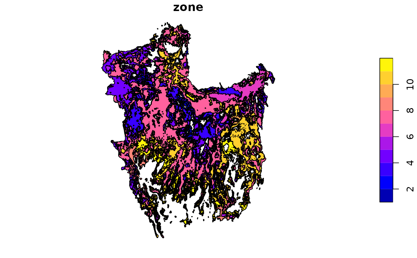
plot(acth7[,4])