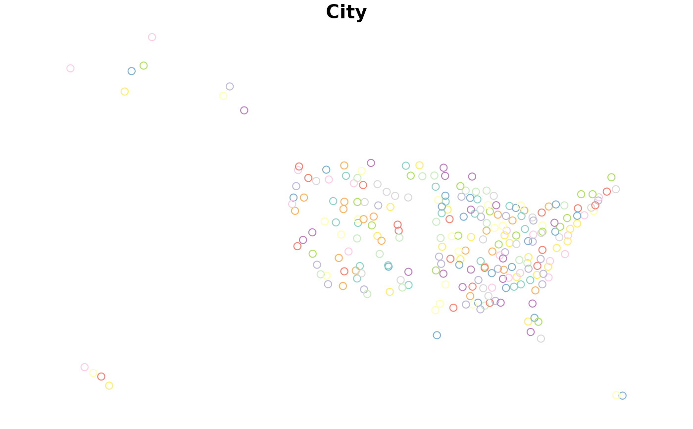
This data set is curated to feature cities which can be helpful for contextualizing locations in a STZ map. It is sourced from https://simplemaps.com/data/us-cities, and subst in a script available in the raw-data folder 'EssentialCities.R'.
Format
A data frame/tibble/sf with 2 columns
- City
Full name of city.
- State
Abbreviation of State Name, using FIPS code.
- geometry
sf geometry column
Examples
cities.sf <- sf::st_read(
file.path(
  system.file(package ='eSTZwritR'), 'extdata', 'Carto_cities.gpkg')
)
#> Reading layer `Carto_cities' from data source
#>   `/home/runner/work/_temp/Library/eSTZwritR/extdata/Carto_cities.gpkg'
#>   using driver `GPKG'
#> Simple feature collection with 246 features and 3 fields
#> Geometry type: POINT
#> Dimension:     XY
#> Bounding box:  xmin: -161.7917 ymin: 18.3985 xmax: -66.061 ymax: 64.8353
#> Geodetic CRS:  WGS 84
plot(cities.sf[,1])

