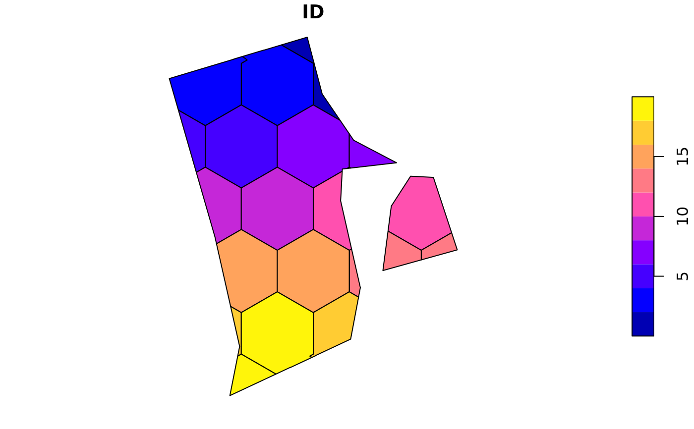
Create hexagonal grid based polygons over a geographic range
GridBasedSample.RdThis function creates 20 grid cells over a geographic area (x), typically a species range.
Arguments
- x
An SF object or terra spatraster. the range over which to generate the clusters.
- planar_projection
Numeric, or character vector. An EPSG code, or a proj4 string, for a planar coordinate projection, in meters, for use with the function. For species with very narrow ranges a UTM zone may be best (e.g. 32611 for WGS84 zone 11 north, or 29611 for NAD83 zone 11 north). Otherwise a continental scale projection like 5070 See https://projectionwizard.org/ for more information on CRS. The value is simply passed to sf::st_transform if you need to experiment.
- gridDimensions
A single row form the ouput of
TestGridSizeswith the optimal number of grids to generate.
Value
An simple features (sf) object containing the final grids for saving to computer. See the vignette for questions about saving the two main types of spatial data models (vector - used here, and raster).
Examples
ri <- spData::us_states |>
dplyr::filter(NAME == 'Rhode Island') |>
  sf::st_transform(32615)

sizeOptions <- TestGridSizes(ri)
head(sizeOptions) # in this case let's shoot for 33 and see what happens
#>       Name Grids  Variance GridNOx GridNOy
#> 1 Smallest    41  146.7971       6       8
#> 2  Smaller    33  679.0576       5       7
#> 3 Original    23 1396.9884       4       6
#> 4   Larger    14 1296.7012       3       5
#> 5  Largest    10 1340.4689       2       4
sizeOptions <- sizeOptions[sizeOptions$Name == 'Original',]

output <- GridBasedSample(ri, 5070, gridDimensions = sizeOptions)
#> Warning: attribute variables are assumed to be spatially constant throughout all geometries
#> Warning: attribute variables are assumed to be spatially constant throughout all geometries
#> Warning: attribute variables are assumed to be spatially constant throughout all geometries
#> Warning: st_point_on_surface assumes attributes are constant over geometries
plot(output)
