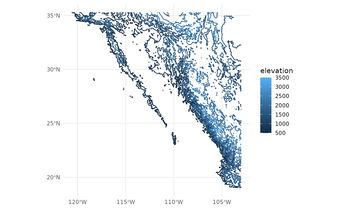
A stylized topographic data set of Baja California and adjacent areas.
topography.RdA stylized dataset of topographic contours, intended for mapping (not analytical) applications. The source raster was aggregated, contoured, filtered for small pieces, simplified, corner-cut, and simplified again. The contours were generated from Robinson, N., Regetz, J., and Guralnick, R. P. (2014). EarthEnv-DEM90: A nearly-global, void-free, multi-scale smoothed, 90m digital elevation model from fused ASTER and SRTM data. ISPRS Journal of Photogrammetry and Remote Sensing, 87:2014, 57-67. Available at http://www.sciencedirect.com/science/article/pii/S0924271613002360.