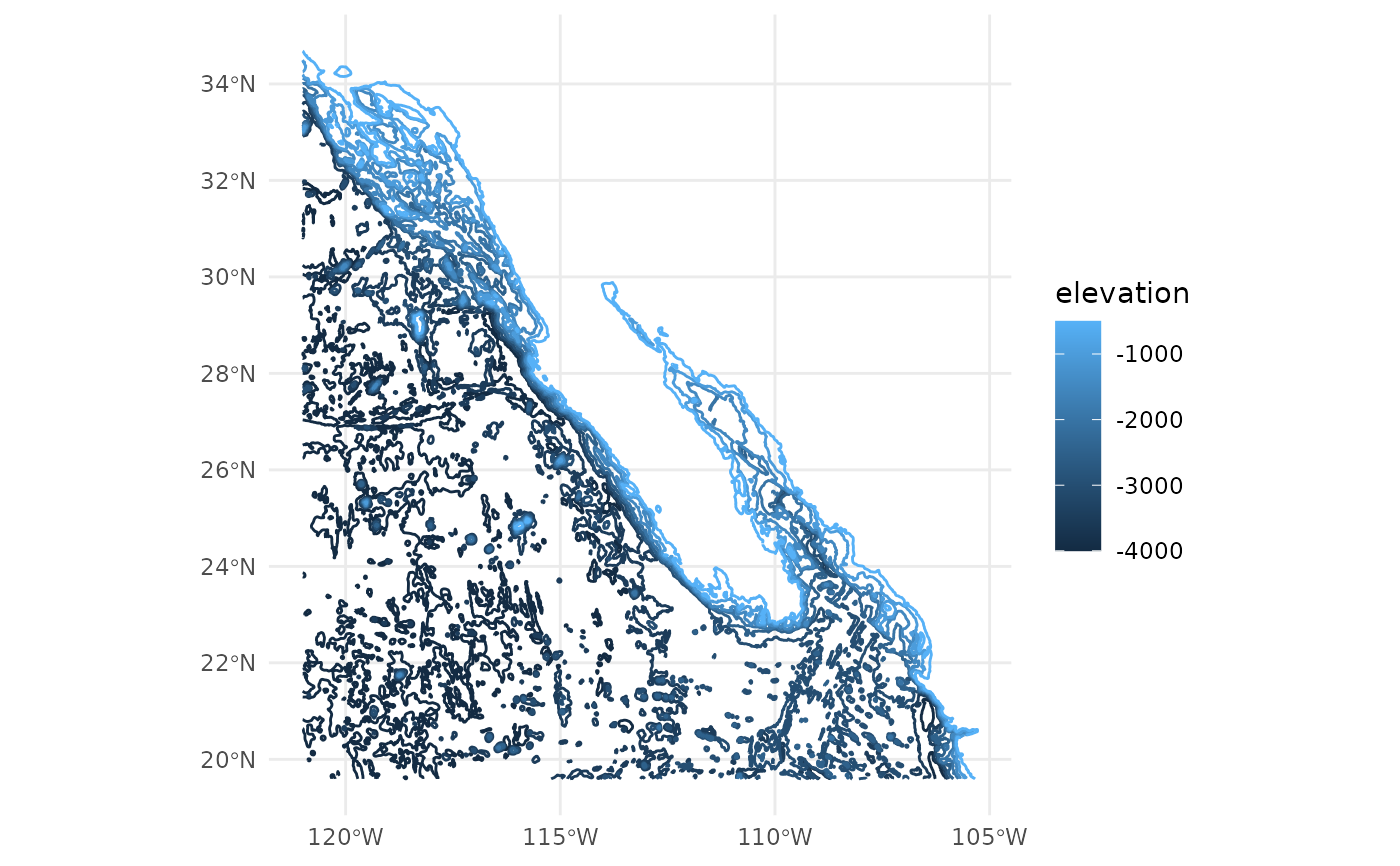
A stylized bathymetric data set of the Sea of Cortez and adjacent areas.
bathymetry.RdA stylized dataset of bathymetric contours, intended for mapping (not analytical) applications. The source raster was aggregated, contoured, filtered for small pieces, simplified, corner-cut, and simplified again. The contours were generated from GEBCO Compilation Group (2024) GEBCO 2024 Grid (doi:10.5285/1c44ce99-0a0d-5f4f-e063-7086abc0ea0f).